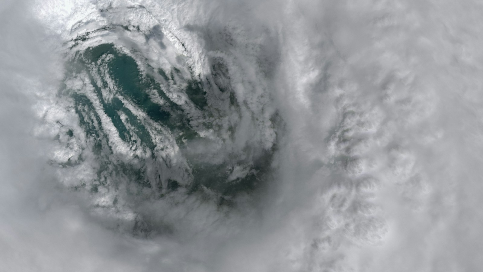
Tropical Storm Isaias is raising concern across the northern Gulf Coast, with forecasters warning that it could strengthen into a dangerous hurricane before reaching the southern United States. The forecast window spans Friday into early Saturday, making preparation a more immediate concern than the eventual category assigned to the storm.
Reporting checked on October 8 points to risks from coastal flooding, damaging winds and heavy rainfall. These are forecasts, rather than impacts that have already occurred. The exact landfall location and intensity remain subject to revision as meteorologists receive new observations and update their calculations.

What the official forecast says
The National Hurricane Center reported strengthening on October 7 and warned of increasing hurricane and storm-surge risks along the northern Gulf. Its forecast discussion described an environment capable of supporting substantial intensification, while also noting that conditions nearer landfall could affect the eventual wind strength.
An October 7 Reuters report placed the likely landfall window early Saturday and highlighted Mississippi, Alabama and the Florida Panhandle. That report also identified possible heavy rain and tornadoes. Readers should use the newest official advisory for decisions because forecast timing can change between updates.
Forecast maps can be misunderstood when people concentrate only on a line showing the expected center. A tropical cyclone covers a large area, and dangerous weather may develop beyond that line. A town outside the projected center track can still face disruption from flooding, wind or coastal conditions.
Why water risks deserve attention
Hurricane categories describe sustained wind strength. They do not provide a complete description of rainfall, coastal water levels or the vulnerability of individual neighborhoods. Two places experiencing similar winds may have very different outcomes because of their elevation, drainage, buildings and access to emergency services.
That distinction matters for households deciding whether to leave. A coastal evacuation order can reflect a water hazard even when the expected wind category seems manageable. Residents need information about their own evacuation zone and local instructions, rather than assumptions based on another community’s experience.
Flooding can also interrupt a journey before a storm reaches its closest point. A route that appears usable when a family starts travelling may become hazardous later. Preparation therefore includes identifying destinations and routes early, with enough flexibility to respond if officials change their advice.
Oil operations add an economic dimension
The developing storm has implications beyond coastal communities. Reuters reported that offshore operators had curtailed production and evacuated personnel ahead of the system. Those measures illustrate how a weather threat can disrupt industrial activity before landfall or visible damage to coastal infrastructure.
Analysis: precautionary shutdowns create a distinction between temporary lost output and lasting equipment damage. Restarting depends on inspections, staffing and conditions offshore. A closure announcement alone cannot establish how long production will remain lower, or how much consumers will eventually pay for fuel.
Energy prices also respond to inventories, refinery availability and developments elsewhere in the world. It would be premature to attribute every move in petrol prices to Isaias. The practical story is the potential interruption to a major production region, followed by the pace at which normal operations resume.
What households can prepare now
The NHC’s preparedness resources emphasize knowing local risks, receiving alerts through multiple channels and planning before severe conditions arrive. A working phone is useful, but families also need a way to receive information if mobile service or household electricity becomes unreliable.
Preparation can begin with a conversation: where will everyone meet, who will contact relatives, and what happens if members of the household are apart? Making those arrangements while conditions are calm is easier than improvising them during a power cut, traffic delay or urgent evacuation.
The CDC’s hurricane preparation guidance covers supplies and readiness for homes, vehicles and families. Medicines, drinking water, important documents and essential communication equipment need particular consideration. Anyone relying on powered medical equipment should arrange an appropriate backup plan through local services.
Businesses face their own decisions about employees, stock, equipment and customer communication. A clear reopening message is as important as a closure notice. Employers should avoid giving staff conflicting expectations when transport conditions or local emergency instructions make normal attendance difficult.
What to watch in the next update
For residents away from the coast, the same principle applies: check the hazard relevant to the location. An inland address can still face rain-related flooding, fallen trees or interrupted electricity. Coastal distance alone does not establish that a household will experience no disruption.
The most useful next developments will be changes in the official forecast, the expansion or alteration of watches and warnings, evacuation instructions and confirmed interruptions to transport or utilities. These tell residents more about immediate decisions than dramatic descriptions of the storm on social media.
Images of earlier hurricanes can circulate again during a new event. A photograph may show a real storm while still being unrelated to Isaias. Readers should check the image’s date, location and source before treating it as evidence of present flooding or damage.
NewsNationOnline’s weather coverage and USA news section provide related reporting. This article describes information available at the time of review; official local alerts remain the relevant source for decisions as the forecast develops.
Discover more from NewsNation Online
Subscribe to get the latest posts sent to your email.
आपके लिए सुझाव